
Reality Capture & Spatial Data Acquisition
Write High-accuracy spatial capture workflows using UAV photogrammetry, LiDAR, SLAM scanning and geospatial processing technologies.
Spatial Technologies delivers reliable, repeatable and survey-grade spatial datasets supporting construction, infrastructure, environmental, agriculture and asset management projects across Australia.

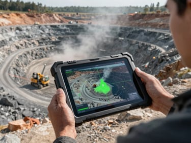
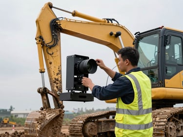

Specialist Reality Capture Capability
Specialist Capture Capability
Scalable Project Delivery
Surge Capacity
Spatial Technologies provides integrated reality capture services combining UAV operations, LiDAR, mobile SLAM scanning and advanced spatial processing workflows to support organisations requiring accurate and operationally reliable spatial data.
Our workflows are designed to support engineering, surveying, construction, infrastructure and environmental projects where data quality, repeatability and downstream usability are critical.
Independent Technical Expertise
QA-focused Spatial Workflows
Practical Field and Processing Support
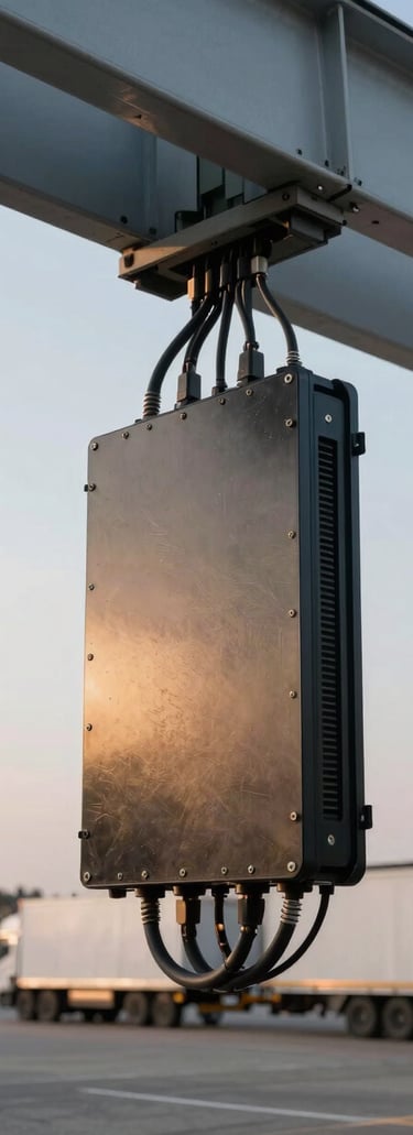
Reality Capture Services
UAV Photogrammetry
Orthomosaics
Terrain models
Site progress monitoring
Volumetric analysis
Corridor mapping
Asset inspections
Deliverables are suitable for GIS, CAD, engineering and digital twin workflows.
UAV LiDAR
Orthomosaics
Terrain models
Site progress monitoring
Volumetric analysis
Corridor mapping
Asset inspections
LiDAR workflows support rapid acquisition of dense and highly accurate point cloud datasets.
Mobile SLAM Scanning
Indoor environments
Infrastructure assets
Industrial facilities
Confined environments
Construction verification
Digital twin generation
SLAM workflows provide fast and flexible capture capability where traditional surveying methods may be impractical.
Terrestrial Laser Scanning
Engineering projects
Infrastructure capture
Industrial environments
Asset documentation
Deformation monitoring
BIM workflows
Deliverables are suitable for GIS, CAD, engineering and digital twin workflows.
Digital Twin Workflows
Construction monitoring
Asset management
Engineering coordination
Inspection workflows
Spatial analysis
Operational planning
.
Spatial Processing & Validation
Spatial Technologies provides structured processing and QA workflows designed to ensure datasets are reliable, repeatable and suitable for downstream operational use.
Processing services include:
Point cloud optimisation
Orthomosaic generation
Terrain modelling
Contour generation
Cut/fill analysis
Mesh generation
GIS-ready outputs
Quality assurance validation
Change detection workflows
Our workflows focus on practical deliverables rather than simply generating raw data.
Deliverables
Typical project deliverables include:
LAS / LAZ point clouds
Orthomosaics
DSM / DTM terrain models
Contours
Cut & Fill reports
Digital surface models
Mesh models
BIM-compatible outputs
GIS-ready datasets
Construction progress datasets
Inspection imagery & reporting
Technologies & Platforms
Spatial Technologies utilises modern reality capture technologies and spatial processing platforms including:
DJI Enterprise UAV platforms
LiDAR systems
Mobile SLAM systems
Pix4D workflows
GIS platforms
Cloud-based spatial processing workflows
Digital twin environments
Industries Supported
Our reality capture workflows support projects across:
Construction & Infrastructure
Surveying & Engineering
Mining & Quarry Operations
Agriculture & Environmental Monitoring
Utilities & Asset Management
Government & Local Authorities
The data works the day it arrives on site.
Pages
Get in touch
info@spatialtechnologies.com.au
Based in Australia — deployments across Asia-Pacific
Response within one business day
(C) 2026 Spatial Technologies Pty Ltd - Specialist spatial data capture and reality modelling solutions.