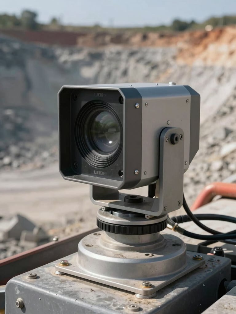
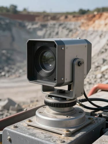
Close-up of a LiDAR sensor unit mounted on heavy industrial equipment at a mining site, natural daylight, dust-hazed air visible around the hardware, cables and mounting bracket in sharp focus, site terrain visible in background
/ LiDAR & Vision Systems

Spatial data that drives decisions on site

Each deployment is scoped to your site conditions. Data arrives configured, routed, and ready to act on—no post-processing queue, no interpretation lag.
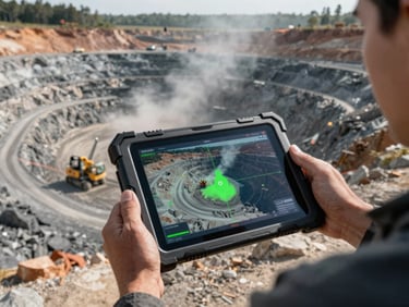
Wide-angle view from an elevated position over an active open-cut mine, LiDAR scan overlay visible on a ruggedized tablet screen held by an operator, natural site lighting, dust and machinery in background
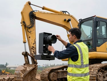
Field technician mounting a sensor bracket on the frame of a large construction excavator, overcast daylight, high-visibility vest, site mud visible on equipment, focus on hands and hardware
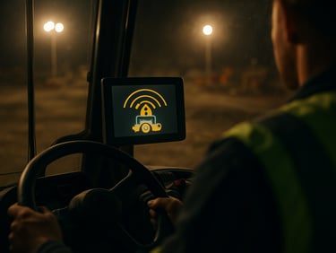
Over-the-shoulder view of a heavy vehicle operator inside a cab, proximity alert visible on a dashboard-mounted display, site lighting from safety floods, focus on the screen readout and operator's hands on controls
Core capabilities

Three systems, one deployment framework

3D Site Intelligence

Field-Configured Deployment

Edge Safety Sensing

Real-time point-cloud data processed at the edge and delivered as structured site maps. Stockpile volumes, exclusion zones, and asset positions updated continuously.

Sensor placement, data routing, and system integration are scoped on the first site visit. Operational within weeks—calibrated to your environment before handover.

Blind-spot detection, proximity alerts, and asset tracking processed on-device. No cloud round-trip—alerts fire at the point of risk, not after the event.
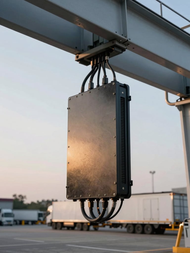
Close-up of ruggedized sensor hardware installed on a logistics yard gantry, late afternoon flood lighting, power and data cables routed along the structure, concrete yard surface and parked trailers visible below
— Integration depth

Configured to your systems on day one

Data routing connects directly to your fleet management, SCADA, or safety platforms. No middleware layer to maintain—outputs land where your team already works.

Site survey, hardware placement, and live data validation completed in a single mobilisation. Most sites are producing measurable outputs within three weeks of first contact.

Match your site problem to the right system

Bring your operational brief. We scope the deployment, confirm integration points, and provide a measurable outcome plan before any hardware ships.